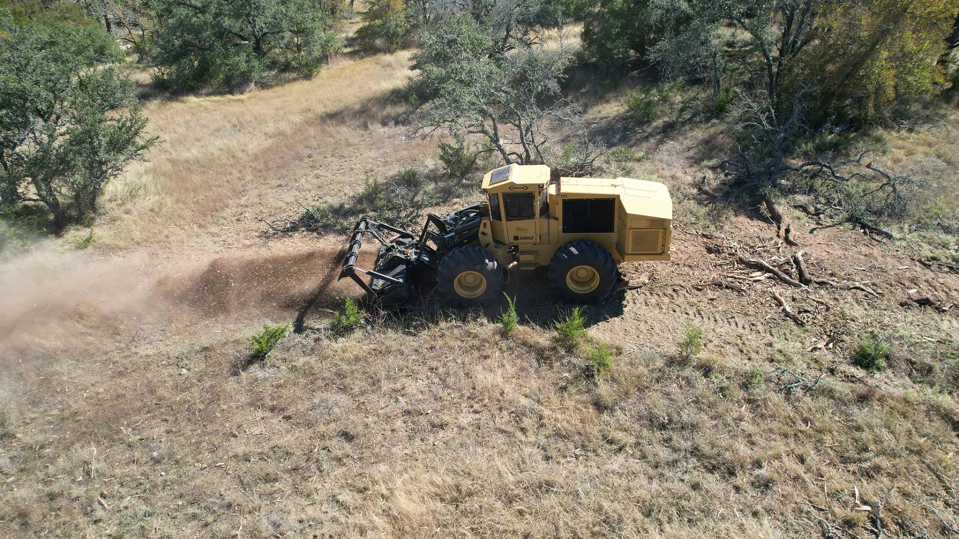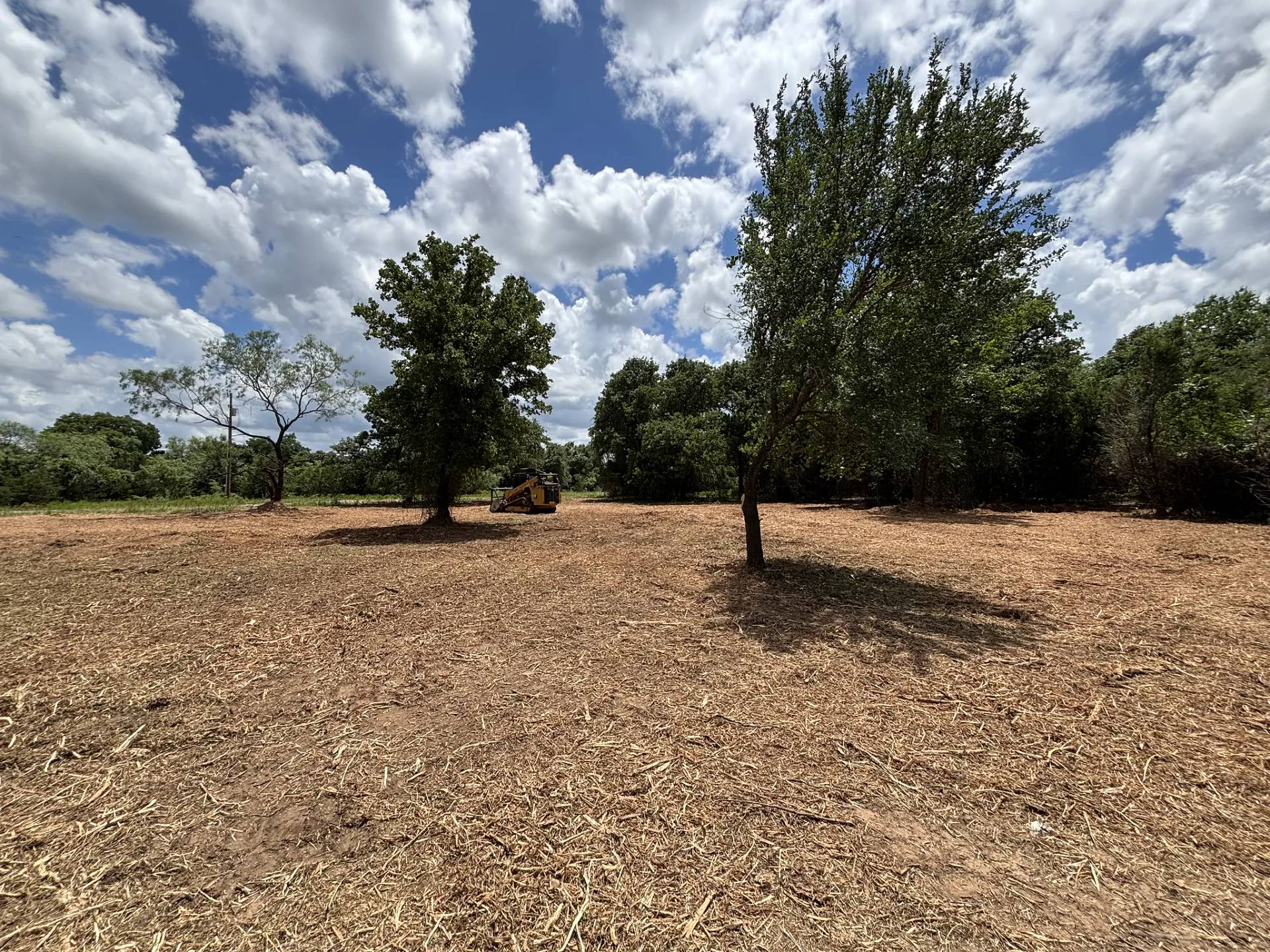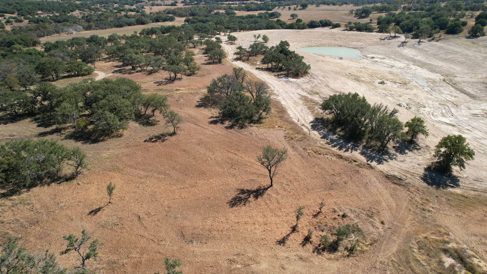
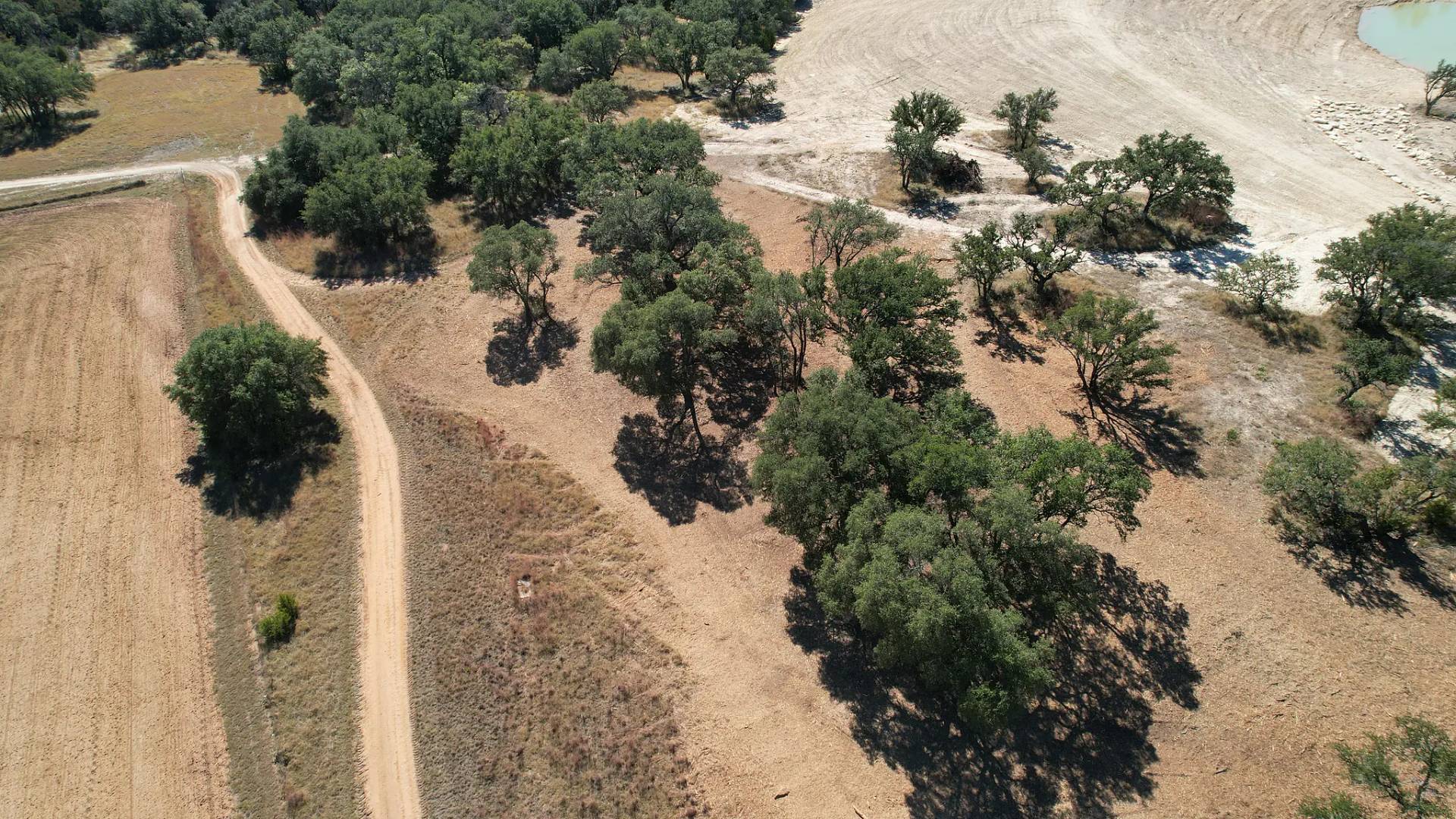
Mason County ranch land changes under your boots. East of Mason, toward the Llano County line, you're on the edge of the Llano Uplift: rolling, steeper country with granite showing through and deeper sandy and clayey loams. West of town it flattens out onto the Edwards Plateau, with shallow, stony clay over limestone. Both halves grow the same problem. Mesquite, Ashe juniper and prickly pear fill in the open stands of live oak that make this county's pasture worth running. Double L Land Management does land clearing and forestry mulching for Mason County landowners, and we bring the crew and the machines down from our base in Meridian.
What the two kinds of ground mean for the machine
On the granite side, sandy soil is easy on tracks and a mulcher can hold a steady pace, but boulders and knobs sitting half-buried in the grass are hard on cutting teeth and undercarriage. The operator works around them instead of through them, and that sets the speed of the job. On the limestone side, the soil can be only a few inches deep over rock. That's where mulching earns its place: it cuts brush at the ground and leaves the thin topsoil where it is, where a dozer blade would peel it off and leave bare rock and caliche behind.
Some jobs need ground moved, not just brush removed: a house pad, a ranch road, the dam for a stock tank. The CAT D5 dozer comes along for that part of the work, and where limestone ledges break the surface of a road or pad, rock grinding turns them into a surface you can drive on.
Clearing work on Mason County land
- Mesquite pasture. Honey mesquite moves into grazing land fast here, and it resprouts from the base after the top is cut. We talk through a follow-up plan before the first pass, not after it.
- Live oak country. The live oaks are usually the trees worth keeping, and everything crowding them is what has to go. We mark the mottes you want on the walk, then mulch the cedar and brush out from under and between them.
- River and creek bottoms. The Llano River runs west to east through the middle of the county, the James River joins it from the south, and spring-fed creeks feed both. Native pecans line those banks. Bottoms are cleared selectively, so the pecans stay and the bank keeps the growth that holds it together in a flood.
- Hunting land. In the 1950s Mason County led the state in deer taken each year, and hunting still pays its way on a lot of places. Shooting lanes, feeder roads and openings for food plots are planned around the way you hunt.
- Fence lines and ranch roads. Before new fencing goes up, the line has to be clear. We open fence corridors and caliche roads wide enough to build on and to keep up afterwards.